When you click on links to various merchants on this site and make a purchase, this can result in this site earning a commission. Affiliate programs and affiliations include, but are not limited to, the eBay Partner Network.
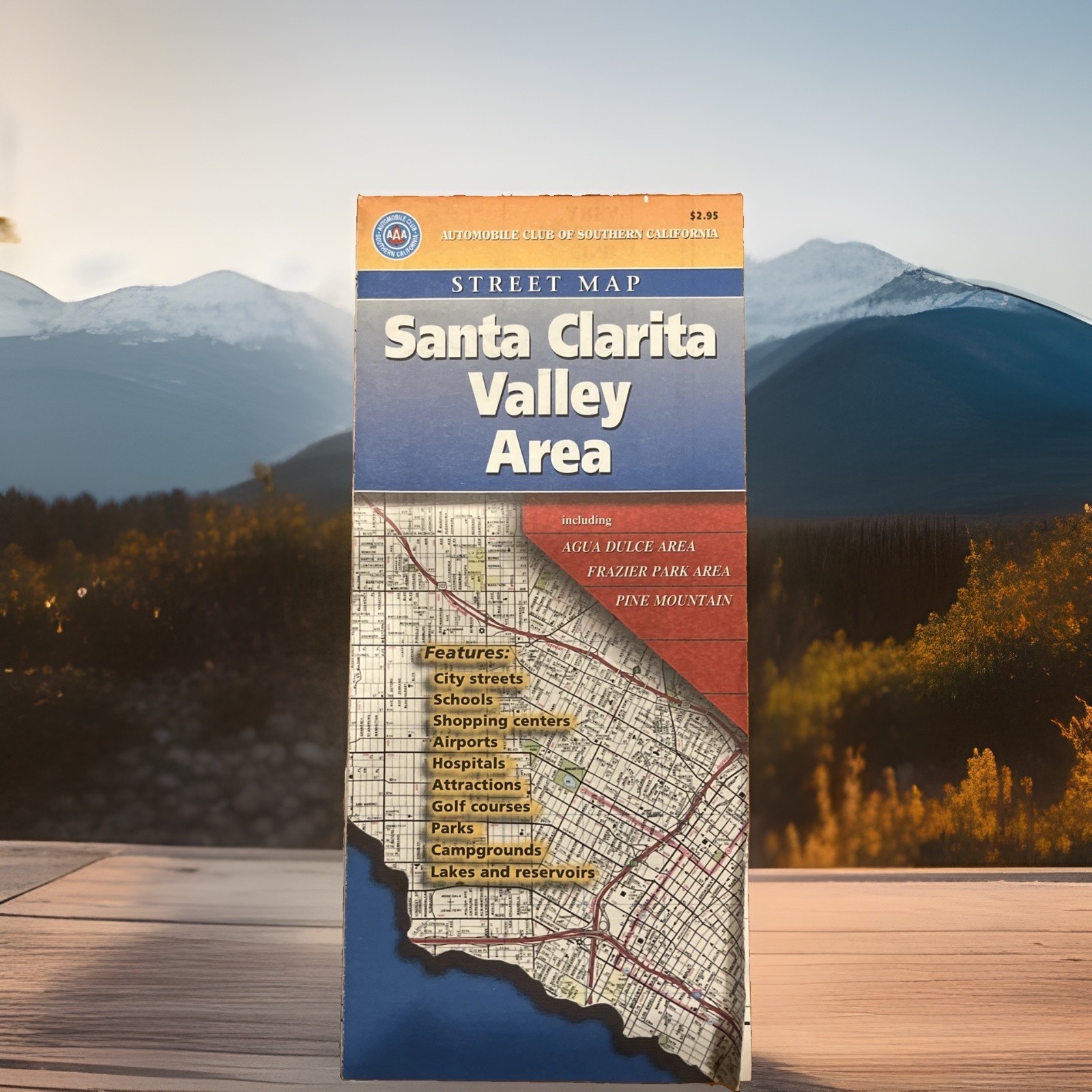
## VINTAGE 1997 AAA Santa Clarita Valley Area Folding Street Map
### Scarce Local SoCal Ephemera — Includes Agua Dulce, Vasquez Rocks & Magic Mountain
Up for sale is a rare, hard-to-find vintage 1997 street map** of the **Santa Clarita Valley Area** published by the Automobile Club of Southern California
Unlike broad, common Los Angeles city maps, hyper-local sub-regional guides like this one were printed in limited quantities in the late 1990s—making them extremely scarce today!
This detailed map covers the rapid 1990s expansion of the Santa Clarita Valley, featuring full street-level detail and local indexes for:
* **Santa Clarita, Valencia, Newhall, Saugus & Canyon Country**
* **Castaic & Castaic Junction**
* **Agua Dulce & Vasquez Rocks Area**
* **Val Verde, Friendly Valley & Lake of the Woods**
* **Frazier Park & Pine Mountain Area**
---
### 🏛️ Local History & Collector Highlights:
* **Publication Date:** July 1997 (`7-7` Code / ©1997)
* **Local Landmarks:** Features detailed locations for **Six Flags Magic Mountain**, **California Institute of the Arts (CalArts)**, **Vasquez Rocks County Park**, **William S. Hart Park**, and local airports/canyon routes.
* **Special Inset Maps:** Includes dedicated detailed maps for **Agua Dulce** and **Pine Mountain**.
---
### 📐 Condition:
* **Condition:** Excellent vintage condition! Intact paper with crisp, sharp folds, vibrant colors, and no ink marks, tape, or tears. A remarkably clean surviving copy for its age. (Please inspect all photos for full visual detail).