When you click on links to various merchants on this site and make a purchase, this can result in this site earning a commission. Affiliate programs and affiliations include, but are not limited to, the eBay Partner Network.
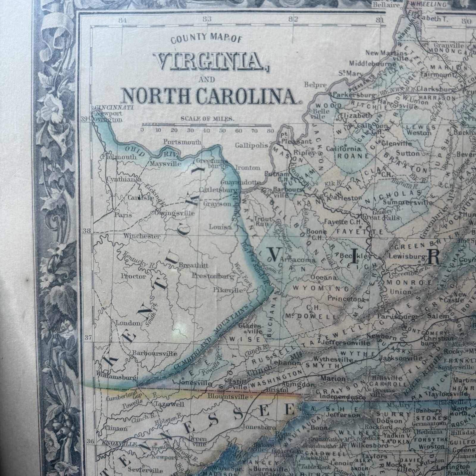
**Authentic 1860 Antique Map of Virginia & North Carolina by S.A. Mitchell Jr.****Title:** County Map of Virginia, and North Carolina
**Publisher:** S.A. Mitchell Jr. (Philadelphia)
**Date:** Copyright 1860 (First Edition / Civil War Era)
**Format:** Original Color Lithograph with Signature Floral Border**Details:**
Authentic 1860 hand-colored map depicting undivided Virginia and North Carolina prior to the Civil War and the creation of West Virginia. Features detailed county breakdowns, rail lines, roads, and cities of the era. Framed by Mitchell\'s iconic 1860s vine & floral border.**Condition:**
Original antique sheet. Shows light age toning and noticeable water staining along the bottom margin (please view high-res photos for exact condition details). Still displays beautifully when matted or framed.