Arts (125)
    Asian & African (8)
    Books (560)
    Boxes & Tea Caddies (85)
    Clocks (36)
    Decorative (398)
    Dolls & Bears (122)
    Figurines (530)
    Furniture (24)
    Glass (1736)
  ...
View All


Search our
Dealer/Mall
Stores!


Poodle, Spaghetti Trim, Ucagco


Collector Books

The Journal of Antiques and Collectibles


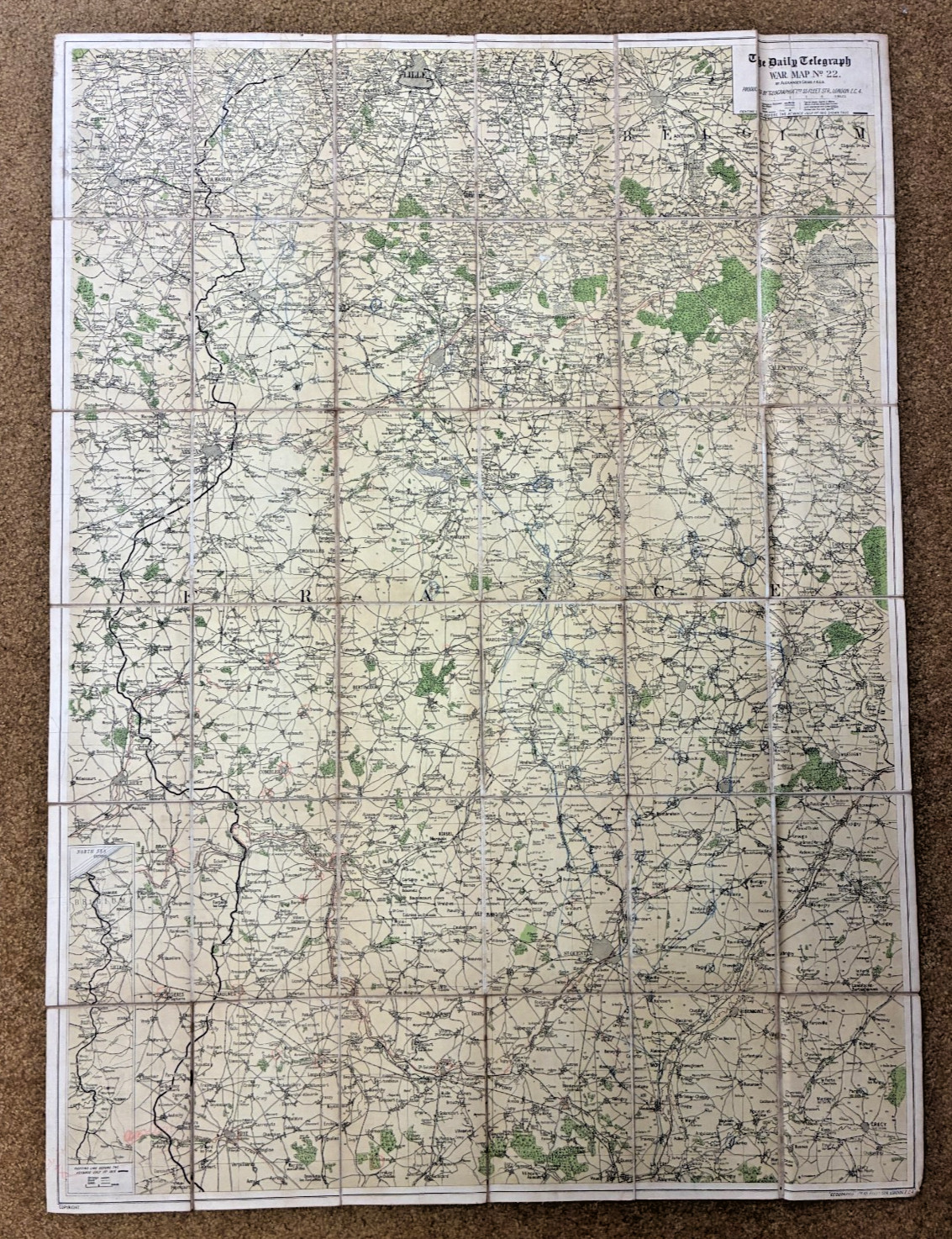
1918 WWI Daily Telegraph Linen‑Backed War Map No.22 France & Belgium For Sale


1918 WWI Daily Telegraph Linen‑Backed War Map No.22 France & Belgium
When you click on links to various merchants on this site and make a purchase, this can result in this site earning a commission. Affiliate programs and affiliations include, but are not limited to, the eBay Partner Network.


Buy Now

1918 WWI Daily Telegraph Linen‑Backed War Map No.22 France & Belgium:
$150.00

DAILY TELEGRAPH WAR MAP No. 22 — FRANCE & BELGIUM

Alexander Gross F.R.G.S. • Geographia, London • Linen‑Backed Field Map
Stamped: Headquarters Philippine Dept., Office of the Department Engineer (Sept. 27, 1918)

Description

Original WWI‑era Daily Telegraph War Map No. 22 of France, compiled by Alexander Gross, F.R.G.S. and produced by Geographia, 55 Fleet Street, London. This is a large, linen‑backed operational map issued during the final months of the First World War, covering France in full with an additional section of Belgium included along the northern border.

This example carries a clear military provenance stamp on the linen:
“HEADQUARTERS PHILLIPINE DEPT., SEP 27 – 1918, OFFICE DEPARTMENT ENGINEER, MANILLA, P.I.”
A strong indicator that this map was used by U.S. Army engineering staff during the war.

Measurements
  • Open: approx. 40 x 29 inches
  • Folded: approx. 6.75 x 4.75 as issued; expected age toning and discoloration to the linen.
  • Visible blue pencil markings (circles, lines, notations) consistent with field or planning use.
  • Light wear from handling and folding, appropriate for a 1918 operational map.
  • Presents extremely well and would look excellent matted and framed.
Provenance

This map was part of a larger group of WWI maps attributed to Major Baird, whose material included reconnaissance sheets, operational maps, and field‑used cartography from the 1914–1918 period.

Additional Notes
  • Last photo is for reference only and is not included in the sale.
  • Over the next week, I will be listing more than two dozen additional WWI‑era maps and reconnaissance artifacts, many with similar field provenance.

I


Buy Now


Related Items:

WWI Original U.S. Military Canvas Pouches Lot of 2 Stamped 1918 (R.I.A./L.C.C.) picture

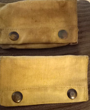
WWI Original U.S. Military Canvas Pouches Lot of 2 Stamped 1918 (R.I.A./L.C.C.)

$60.00


Original WWI U.S. Army Doughboy Service Coat 1918 Patch Photo Display Case picture

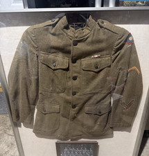
Original WWI U.S. Army Doughboy Service Coat 1918 Patch Photo Display Case

$300.00


1918 WWI US Battleplane Biplane Landing Harvard Stadium Glass Negative OOAK 4x5 picture

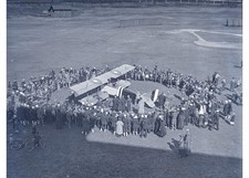
1918 WWI US Battleplane Biplane Landing Harvard Stadium Glass Negative OOAK 4x5

$200.00


  Shopping Cart 
(Your shopping cart is empty)
Subtotal: $0.00
View Cart | Checkout


  Recently Viewed

1.  Lacquered Cedar Wood Box
2.  The White Horse Established 1742 Sign Signed
3.  Pewter Framed Tile, Plate. Ship, Sailing


  Latest Items

1.  Basket, Handpainted,
2.  Apricot Wildflower Pattern Bell
3.  Jade, Jadeite Glass Bell, Westmoreland
4.  Green Glass Strawberry Ptn. Bell
5.  Aladdin Lamp, Rose and White Moonstone


  Facebook


Secure Websites

Online Payments


| Search Items | Member Profile | My Favorites | Auto Notify | FAQ | Links | Sitemap |
Terms of Use | Privacy Policy | Tell Your Friends | Newsletters/Articles/Press Releases |


Antiques, collectibles, estate items, reproductions & art from dealers & collectors world wide at JosephMarc.
Copyright © 2004-2011 JosephMarc, Inc. All rights reserved.