When you click on links to various merchants on this site and make a purchase, this can result in this site earning a commission. Affiliate programs and affiliations include, but are not limited to, the eBay Partner Network.
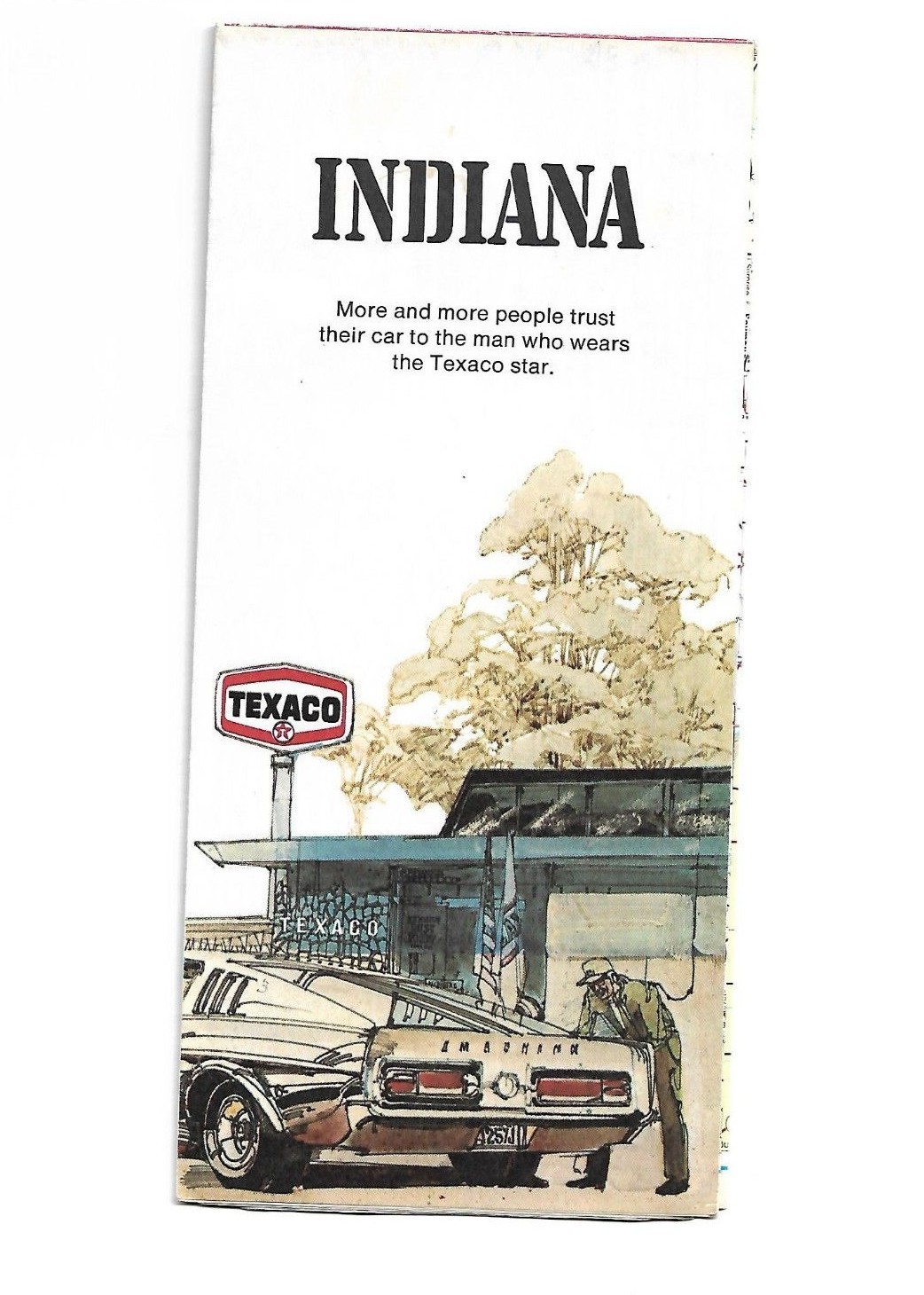
This is a high quality reproduction 1972 Texaco Indiana Highway MapDesigned for Texaco By Rand McNally & CompanyCopyright - Rand McNally and Company, 1972Lithographed in the USA
This map is in very good condition, so good that it appears to be high quality reprint.One side of map covers the State of IndianaAlso shows portions of Kentucky, Illinois, Ohio & MichiganThere is an map legend and index to Interstate numberingPortions of Interstate 64 are still under construction at the time of map printing
Other side of the map contains inset maps of
- Indianapolis
- Evansville
- South Bend
- Fort Wayne
- Terre Haute
- Gary-Hammond-Michigan City Area
- Points of Interest Guide
- State Parks and Facilities Index
- Mileage Log
- Cities and Towns Index
MapSize 18\"x 23\" approximately.This is a folded mapThere is a small hole forming along a fold line
Map will be shipped USPS first class mail