When you click on links to various merchants on this site and make a purchase, this can result in this site earning a commission. Affiliate programs and affiliations include, but are not limited to, the eBay Partner Network.
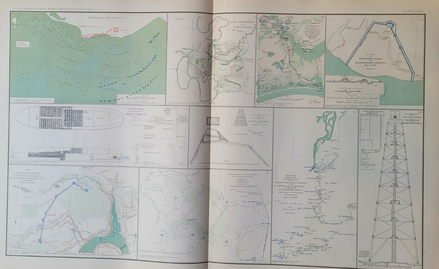
Original Antique Map from the ATLAS TO ACCOMPANY THE OFFICIAL RECORDS OF THE UNION AND CONFEDERATE ARMIES 1861-1865 hard-to-find map due to the limited release! Great Detail!
Plate LXVII lot\'s of maps Federal Point NC 9 (shows the Union Navy/ Confed. shore defense) / Position West of the Weldon RR/ Deep Bottom VA/ Powder Vessel Exploded off Ft. Fisher/ Lookout and Signal Tower at Crow\'s Nest/New Berne NC/Ft. Pemberton
Publisher: Julius Bien & Co. Litho., NY
Date: (1891-1895)
Size: 30\" x 18\" (76 cm x 46 cm)
Condition: excellent, some aging (see pictures)