

|
Site Categories |
|
Featured Items |

Poodle, Spaghetti Trim, Ucagco


|
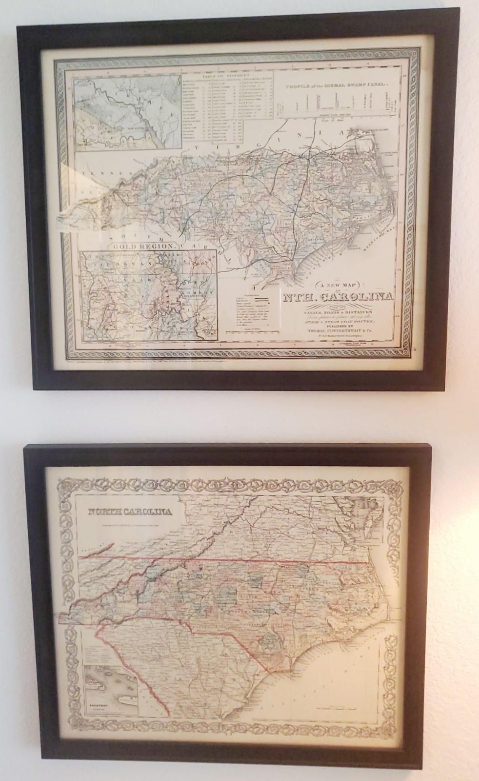
Maps of North Carolina in 1850 and 1855 For Sale

When you click on links to various merchants on this site and make a purchase, this can result in this site earning a commission. Affiliate programs and affiliations include, but are not limited to, the eBay Partner Network.

Maps of North Carolina in 1850 and 1855:
$140.00
Any reasonable will be considered. Just send a reasonable offer.These are copies of two maps of North Carolina , The first map was entered according to the Act of Congress in the year 1850 by Thomas, CowPerthwait & Co. showing maps of North Carolina with its canals, steam boat routes.No. 253 Market Street, Philadelphia.The second map was entered into the Act of Congress in the year 1855 by J.H. Colton & Co. In the clerks office in the District Court of the United States for the Southern District of New York.I got these maps as a birthday present when I was 12 years old and had them professionally framed later on in life. I have had these two maps for 63 years. I just believe it is time to pass them on to a young person who can learn about all the counties in North Carolina. Any reasonable offer will be considered. Free shipping. Please ask any questions you might have before offerding.Thank you for looking at this sale and offer.
|
|
Related Items: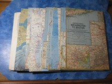
LOT OF 19 VINTAGE NATIONAL GEOGRAPHIC MAPS 1960-1969 No Duplicates $19.95
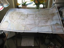
VINTAGE THE UNITED STATES OF AMERICA HUGE WALL MAP National Geographic July 1946 $5.95
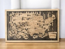
Wood Map of U.S. National Parks - Track Your National Parks Visits $65.00
|
|
|
Shopping Cart  |

|
Recently Viewed |
|
Latest Items |
|
Facebook |
Secure Websites

|
