When you click on links to various merchants on this site and make a purchase, this can result in this site earning a commission. Affiliate programs and affiliations include, but are not limited to, the eBay Partner Network.
Combined shipping is offered in the shopping cart.
Multiple payments will result in multiple shipments.
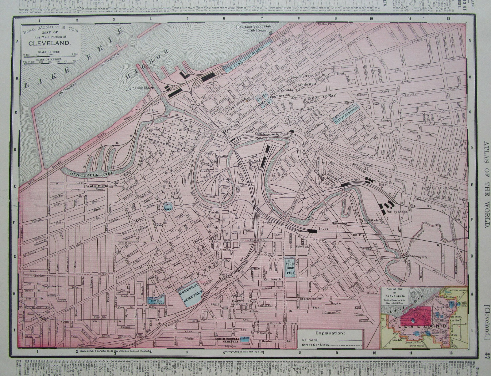
Genuine antique map of Cleveland in soft pastels dated 1895 bottom center. Street car lines and railroads with depots are marked in black.
Railroad and Depots shown are:
- NKP New York, Chicago, & St Louis + Lake Shore & Michigan Southern
- Union Depot
- Erie Depot
- Valley Depot ....
Large 9 3/16" x 12 1/2" actual map size inside the border with indexed margin beyond.The other side is the Indiana state map dated 1895 with identified rail lines.
Sourced from The 1900 Cyclopedic Atlas (last photo). Many undiscovered map publishers of the day used Rand McNally maps.Overall fine. Some edge margin staining not affecting the map. Impressive for 100+ years old.Zoom to inspect.
MoreOhio maps my listings for your state: style="font-size: 14pt; font-family: Arial;">
Returns only if item is not as described. The photos are part of the description.
INV: iowa.cyclo.1900-3.McN.37.38