When you click on links to various merchants on this site and make a purchase, this can result in this site earning a commission. Affiliate programs and affiliations include, but are not limited to, the eBay Partner Network.
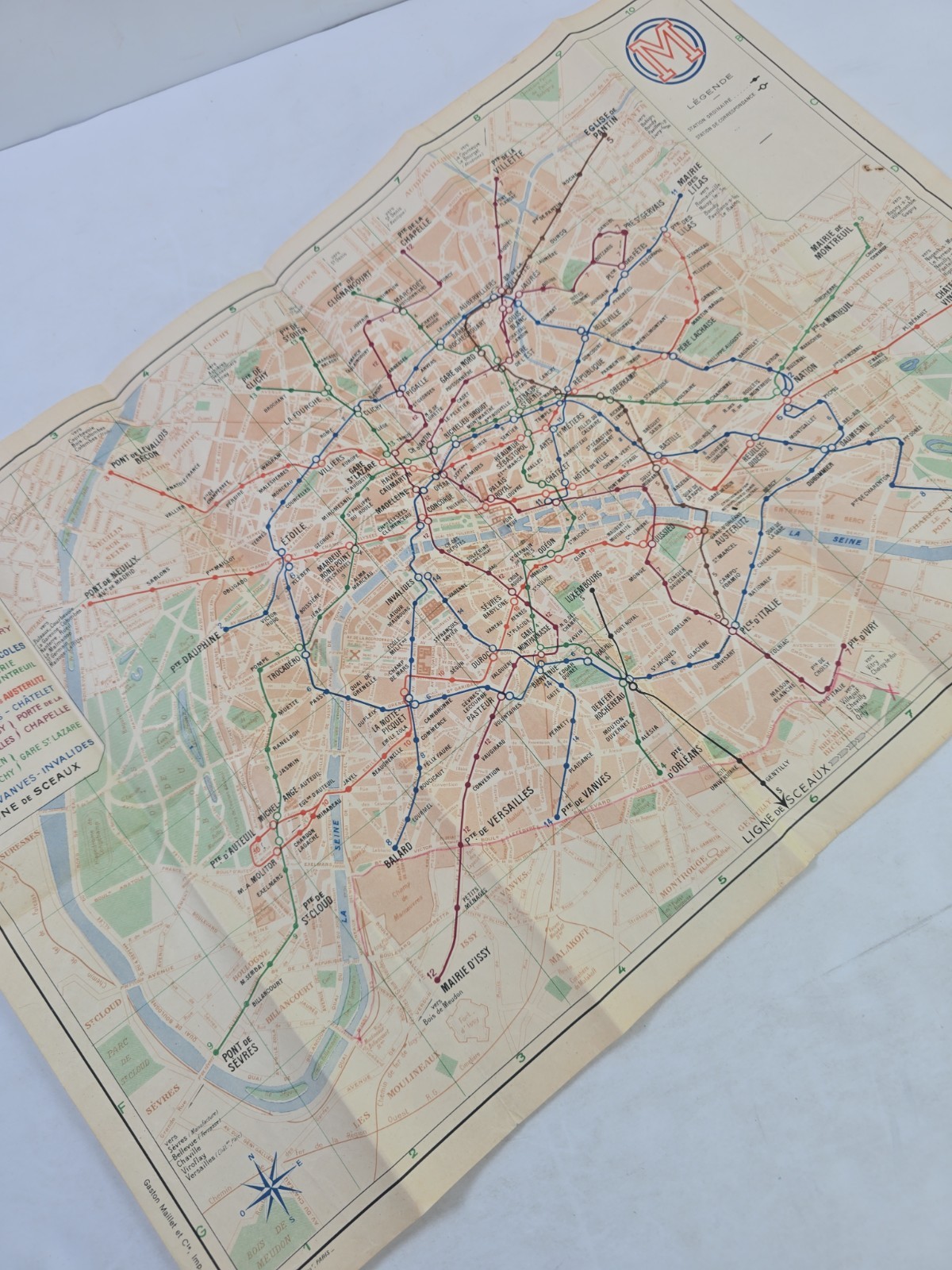
Original vintage folding map of the Paris Métro and surrounding areas, issued by the Compagnie du Chemin de Fer Métropolitain de Paris (CMP).
Based on the stations and routes shown, this map appears to date from approximately 1942–1945. It predates the RATP era and features the CMP logo, numbered Métro lines, street details, suburban connections, and the Ligne de Sceaux.
Marked:
• F. Lagoutte, Paris
• Gaston Maillet et Cie., Imp. St-Ouen
• Propriété de la Cie du Chemin de Fer Métropolitain de Paris
Measures approximately 18 1/4 x 11 3/4 inches when unfolded.
Condition: Original used map with age toning, scattered stains and marks, edge wear, heavy fold lines, creasing, and small separations or tears along some folds. Printed side remains colorful and legible.
Please review all photos carefully for exact condition and details. Sold as shown.