When you click on links to various merchants on this site and make a purchase, this can result in this site earning a commission. Affiliate programs and affiliations include, but are not limited to, the eBay Partner Network.
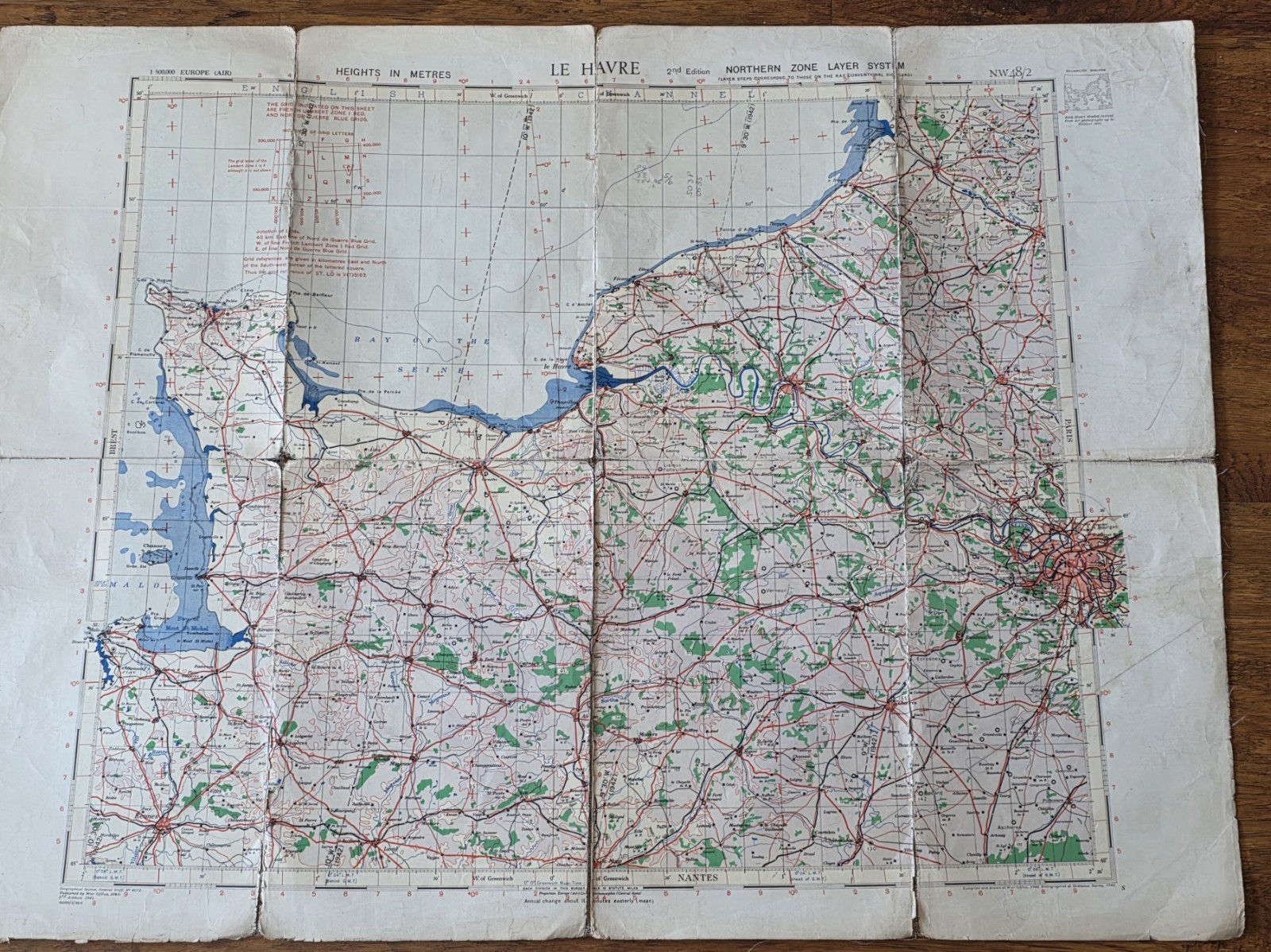
Original and authentic, printed on linen, WW II Allied aviation navigation map of northern France, specifically centered on the Le Havre region and the Seine estuary. Made in England.
Combat-used original navigational map used by a B-17 navigator of the 457th Bomb Group
In late 1944 and 1945, on 27 missions.
At the top, it reads:
“LE HAVRE – Northern Zone Layer System – 2nd Edition.”
and the sheet designation:
“NW 48/2”
A few things identify it as an operational wartime air map:
The grid system and latitude/longitude markings were for aerial navigation.
“Heights in meters” was critical for low-level flying.
The “Northern Zone Layer System” was part of Allied air navigation mapping used in occupied Europe.
The warning text near the top references German grid systems and Luftwaffe map conventions.
The map includes coastal approaches, rivers, rail lines, road junctions, and urban targets important to bomber and transport crews.
The area shown includes:
Le Havre
the Bay of the Seine
parts of Normandy
The approaches toward Paris on the far right edge
used for:
bomber navigation, route planning, target approach, and post-D-Day operations in 1944–45.