When you click on links to various merchants on this site and make a purchase, this can result in this site earning a commission. Affiliate programs and affiliations include, but are not limited to, the eBay Partner Network.
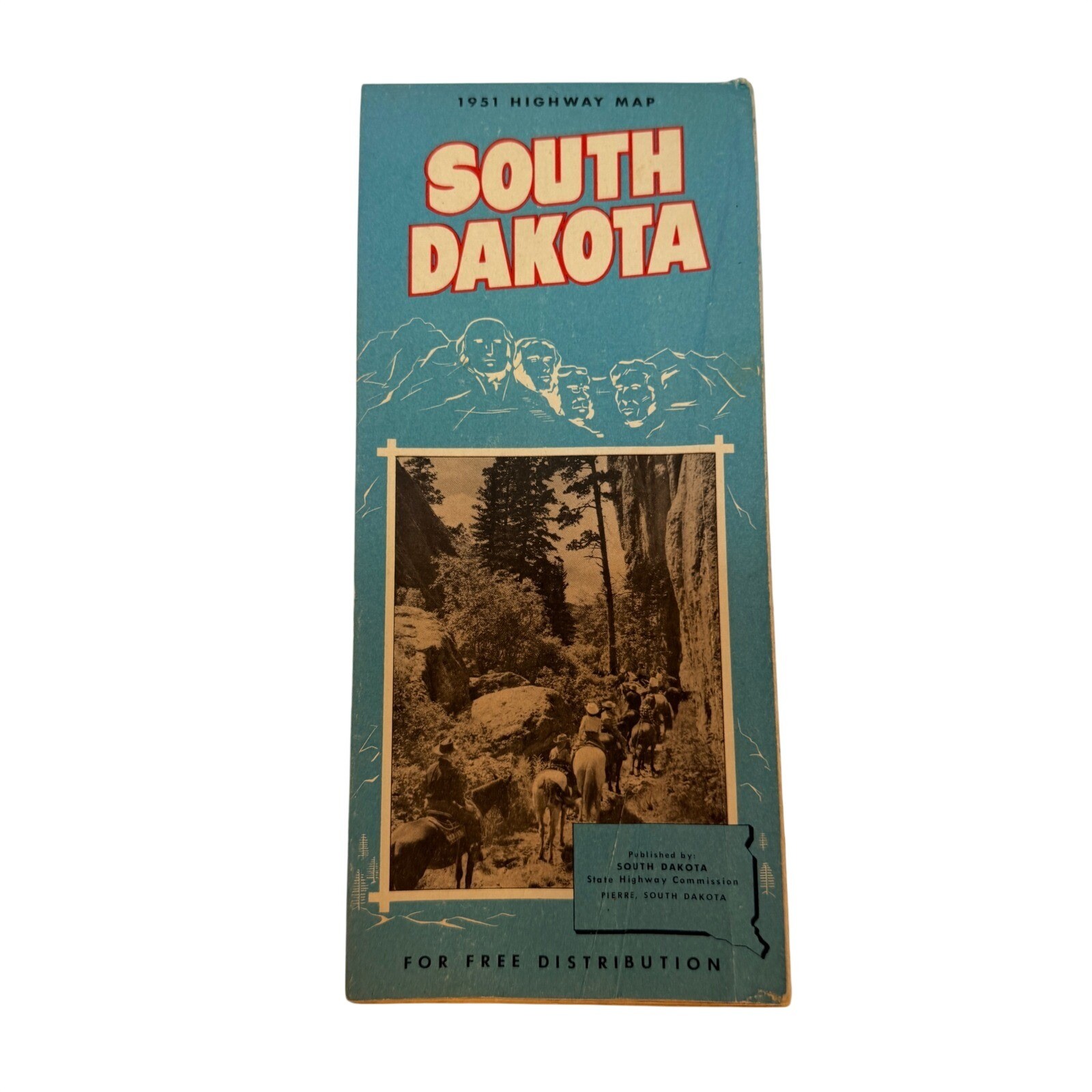
Vintage 1951 South Dakota Highway Map published by the South Dakota State Highway Commission. This authentic mid-century artifact features a detailed road map of the state alongside charming 1950s illustrations, including a family on a "magic carpet" and depictions of Mount Rushmore. The reverse side showcases the "Land of Infinite Variety" with black and white photography of local landmarks, resources, and a mileage chart. A perfect piece for collectors of Americana, cartography, or Western travel memorabilia.
Type: Folding Highway Map
Year: 1951
Publisher: South Dakota State Highway Commission
Origin: Pierre, South Dakota
Material: Paper
Theme: Travel, Cartography, Americana
Features: Illustrated Cover, Mileage Chart, Landmark Photos
Subject: South Dakota Roads and Tourism
Era: Mid-Century Modern
Style: Vintage Ephemera
Keywords: Road Trip, Mid-Century, 1950s, Black Hills, Mount Rushmore, Badlands, Pierre, Sioux Falls, Rapid City, Cartography, Ephemera, Americana, Western Decor, Paper Goods, Travel Souvenir
• We ship within one business day.
• Please compare the measurements to something you already own.
Thank you for supporting our small business!