When you click on links to various merchants on this site and make a purchase, this can result in this site earning a commission. Affiliate programs and affiliations include, but are not limited to, the eBay Partner Network.
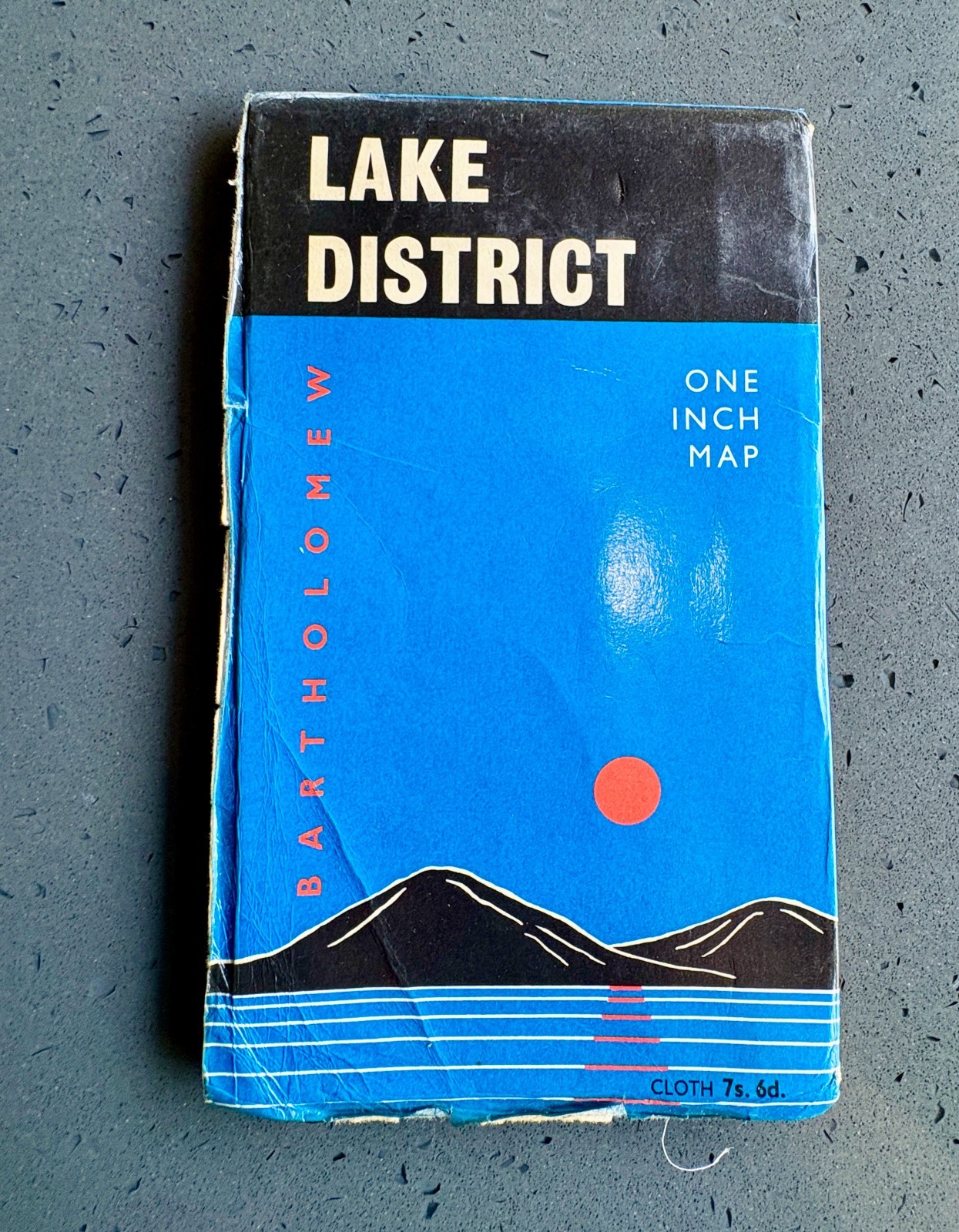
A wonderful large folding map covering the English Lake District in remarkable detail, including Keswick, Derwent Water, Ullswater, Buttermere, Loweswater, Coniston, Windermere, Grasmere and the surrounding fells, mountains, villages and walking country.
The map includes many of the region\'s best-known peaks and landscapes, including Helvellyn, Skiddaw, the High Fells and the dramatic mountain country surrounding the major lakes.
Printed at a scale of one inch to one mile (1:63,360), it uses Bartholomew\'s distinctive contour colouring to represent elevation, with the mountains in graduated browns and the lakes and waterways in vivid blue.
This is the cloth-backed folding edition, originally priced at 7 shillings and 6 pence, and retains its original blue, black and red card cover.
The lower margin of the map is dated 1968.
An interesting feature of the original cover is Bartholomew\'s description of its contour-colouring system, noting that the company first introduced contour colouring on its Lake District mapping in 1880.
The inside cover also includes a short historical introduction titled “They Came to the Lake District.”
A lovely piece of 1960s British cartography, particularly appealing to walkers, hikers, Lake District enthusiasts or anyone with a connection to Cumbria.Measures: 85x76cm
Publisher: John Bartholomew & Son Ltd, Edinburgh
Date: 1968
Region: Lake District, England
Scale: 1 inch to 1 mile / 1:63,360
Format: Cloth-backed folding map with original card cover