When you click on links to various merchants on this site and make a purchase, this can result in this site earning a commission. Affiliate programs and affiliations include, but are not limited to, the eBay Partner Network.
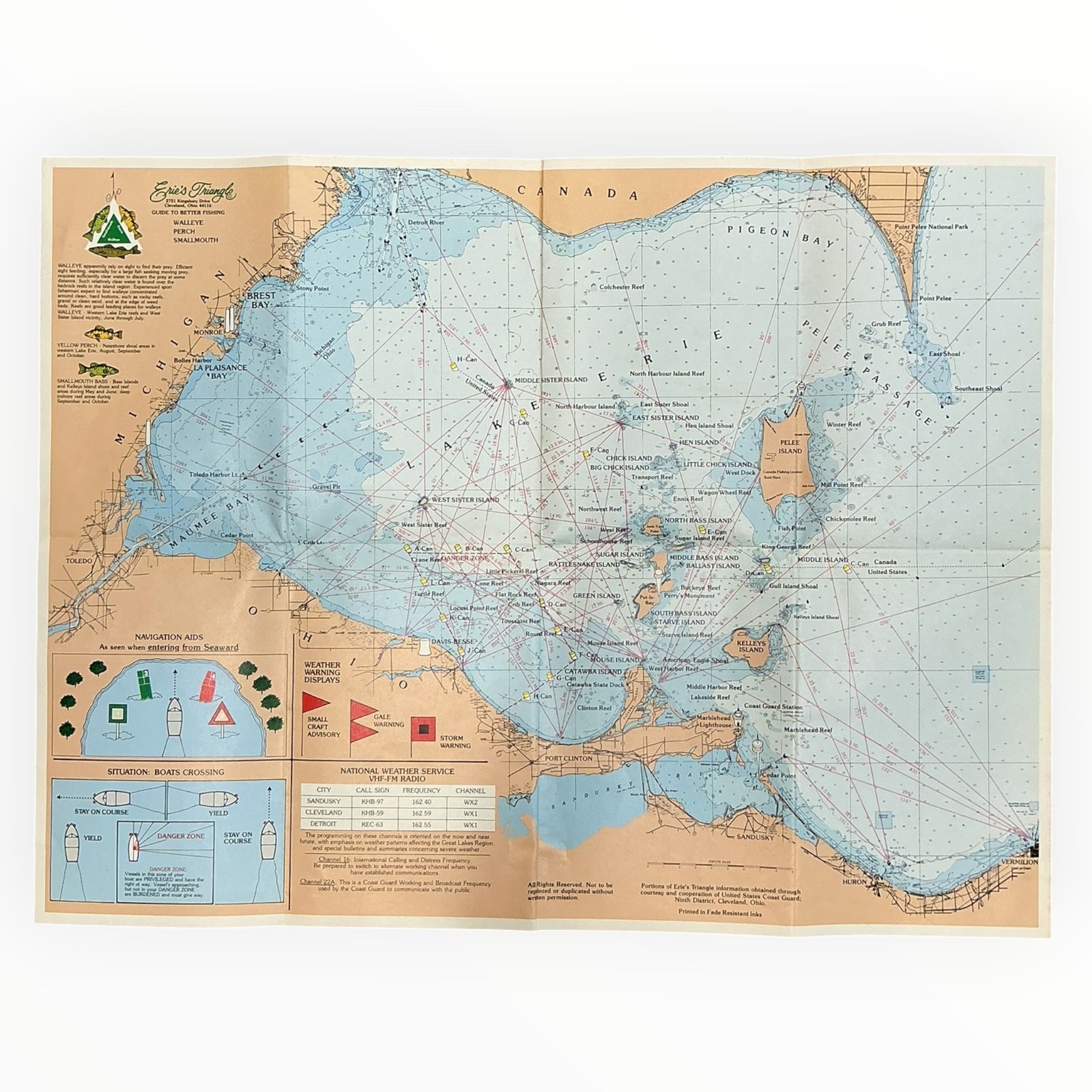
Vintage Erie's Triangle Guide to Better Fishing map and navigation chart for the western basin of Lake Erie.
This detailed folding chart covers the Lake Erie region from Toledo and the Detroit River through the western islands and east toward Sandusky, Huron and Vermilion. Locations shown include West Sister Island, North Bass Island, Middle Bass Island, South Bass Island, Kelleys Island, Pelee Island, Point Pelee, Port Clinton, Marblehead, Catawba and numerous reefs and shoals.
One side includes detailed fishing and navigation information for walleye, yellow perch and smallmouth bass, along with depth contours, navigation aids, boating diagrams and weather warning information.
The reverse features Suggested LORAN-C Waypoints, 42 recommended Lake Erie reefs, fixed light structures, miscellaneous buoys, international boundary buoys, Camp Perry range cans and land navigation points.
Measures approximately 22 1/4" x 17" when fully opened. Printed paper map with a protective laminated finish. The laminate shows wear at some fold intersections and edges from age and use.
Waterproof material with fade-resistant inks. Folds down for compact storage.
Vintage pre-owned condition with original fold lines, light creasing/handling wear and age-related toning. Please review all photos closely for condition and detail.
A great piece of vintage Lake Erie fishing history for an angler, Great Lakes collector, boating enthusiast or vintage map collection.