

|
Site Categories |
|
Featured Items |

Poodle, Spaghetti Trim, Ucagco


|
1788 F.A. Schraembl Antique Map of the Atlantic Ocean – Americas, Europe, Africa For Sale

When you click on links to various merchants on this site and make a purchase, this can result in this site earning a commission. Affiliate programs and affiliations include, but are not limited to, the eBay Partner Network.

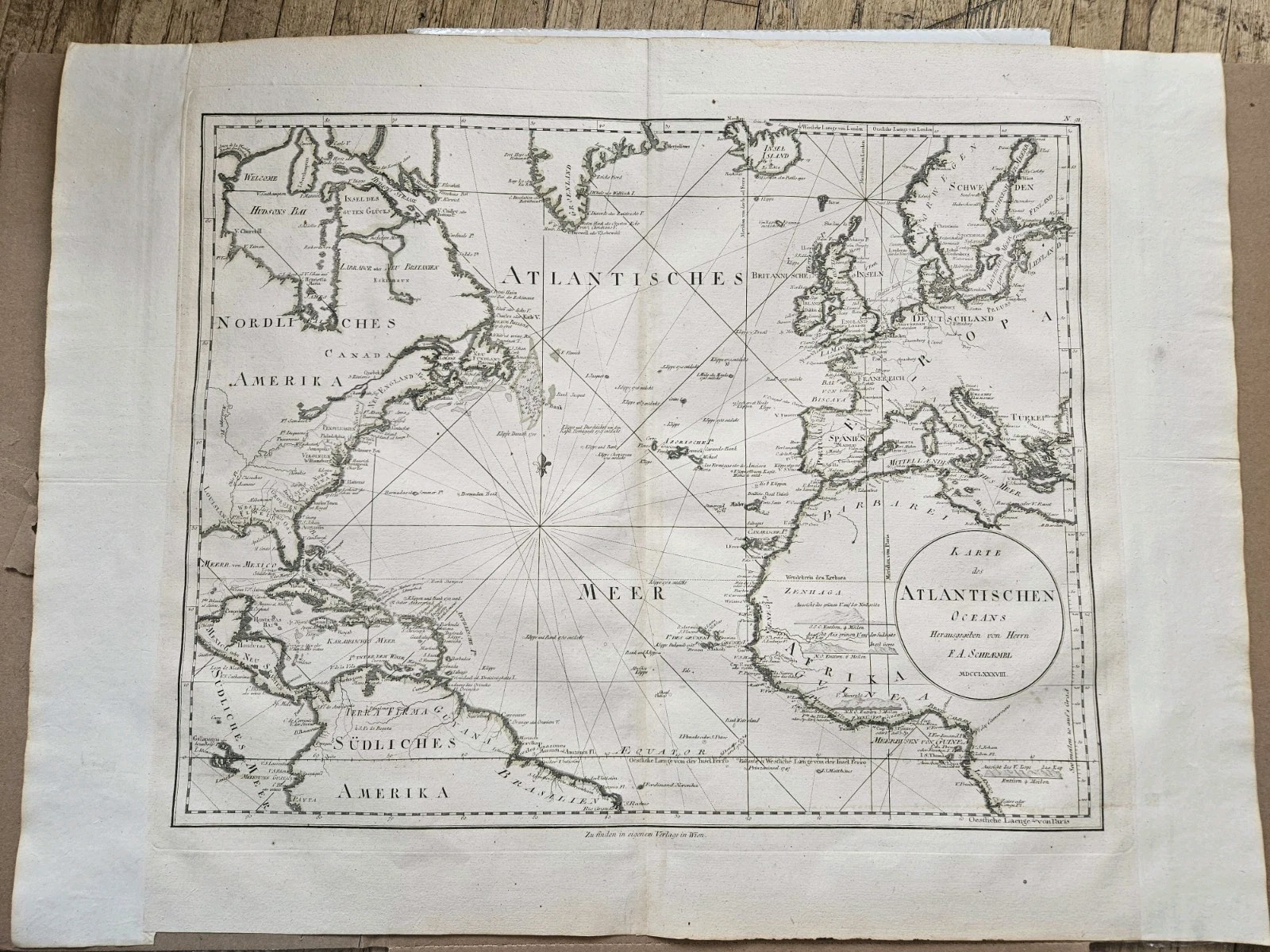
1788 F.A. Schraembl Antique Map of the Atlantic Ocean – Americas, Europe, Africa:
$425.00
Authentic 1788 copper plate engraved map of the Atlantic Ocean by Franz Anton Schrämbl. This beautifully detailed, late 18th-century map centers on the Atlantic Ocean ("Atlantisches Meer"), depicting the coastlines of North America ("Nordliches Amerika"), South America ("Südliches Amerika"), Europe, and western Africa with remarkable historical accuracy. As shown in the close-up cartouche image 1000020747.jpg, the map features the original German title: “Karte des Atlantischen Oceans Herausgegeben von Herrn F.A. Schraembl MDCCLXXXVIII.” Key Features & Details: - Cartographer: Franz Anton Schrämbl (F.A. Schraembl)
- Year: 1788 (MDCCLXXXVIII)
- Type: Original Copperplate Engraving
- Coverage: Atlantic rhumb lines, North and South America, Western Europe, and West Africa.
- Full View: Refer to image 1000020745.jpg for the complete layout and generous margins.
Excellent crisp impression on heavy period paper.- Broad, unclipped margins with some natural age-toning and minor handling creases near the edges, consistent with a genuine 18th-century print.
- No major tears or stains affecting the central map area.
|
|
Related Items:
1788 F.A. Schraembl Antique Map of the Atlantic Ocean – Americas, Europe, Africa $425.00

Goethe 1788 Drawing Capitol Rome Art Postcard Ackermann München M 1784 F412 $19.95
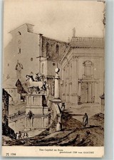
38168625 - The Capitol of Rome v. 1788 F.A. Ackermanns Art Publisher Series 148 No. $10.19
|
|
|
Shopping Cart  |

|
Recently Viewed |
|
Latest Items |
|
Facebook |
Secure Websites

|
