When you click on links to various merchants on this site and make a purchase, this can result in this site earning a commission. Affiliate programs and affiliations include, but are not limited to, the eBay Partner Network.
1889 Maine Map by Geo. F. Cram – Antique Atlas Map
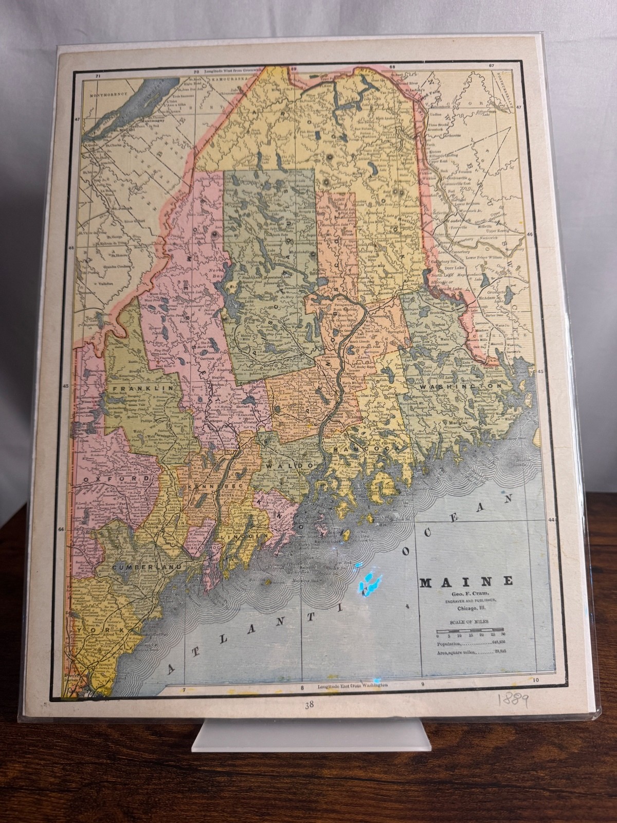
Offered for sale is an original 1889 map of Maine, published by Geo. F. Cram, Engraver and Publisher, Chicago, Illinois. This antique map features detailed county boundaries, cities, towns, rivers, lakes, railroads, and coastal features as they appeared in the late 19th century.
This is an atlas page and not a modern reproduction. The attractive hand-colored printing and historical detail make it an excellent piece for collectors, genealogy enthusiasts, historians, educators, or anyone looking for unique vintage wall décor.
Details
* State: Maine
* Year: 1889
* Publisher: Geo. F. Cram
* Page Number: 38
* Material: Original printed paper
* Color: Multi-color
* map is in very good antique condition with light age-related toning and minor wear consistent with its age. It has been stored in a protective plastic sleeve with a rigid backing board. Please review all photos carefully, as they are part of the description.
This beautiful original antique map would display wonderfully in a home, office, library, study, cabin, or classroom and makes a thoughtful gift for map collectors, history lovers, and genealogy researchers.
Your map will be carefully packaged and shipped flat in its protective sleeve with rigid backing to help ensure it arrives safely.