When you click on links to various merchants on this site and make a purchase, this can result in this site earning a commission. Affiliate programs and affiliations include, but are not limited to, the eBay Partner Network.
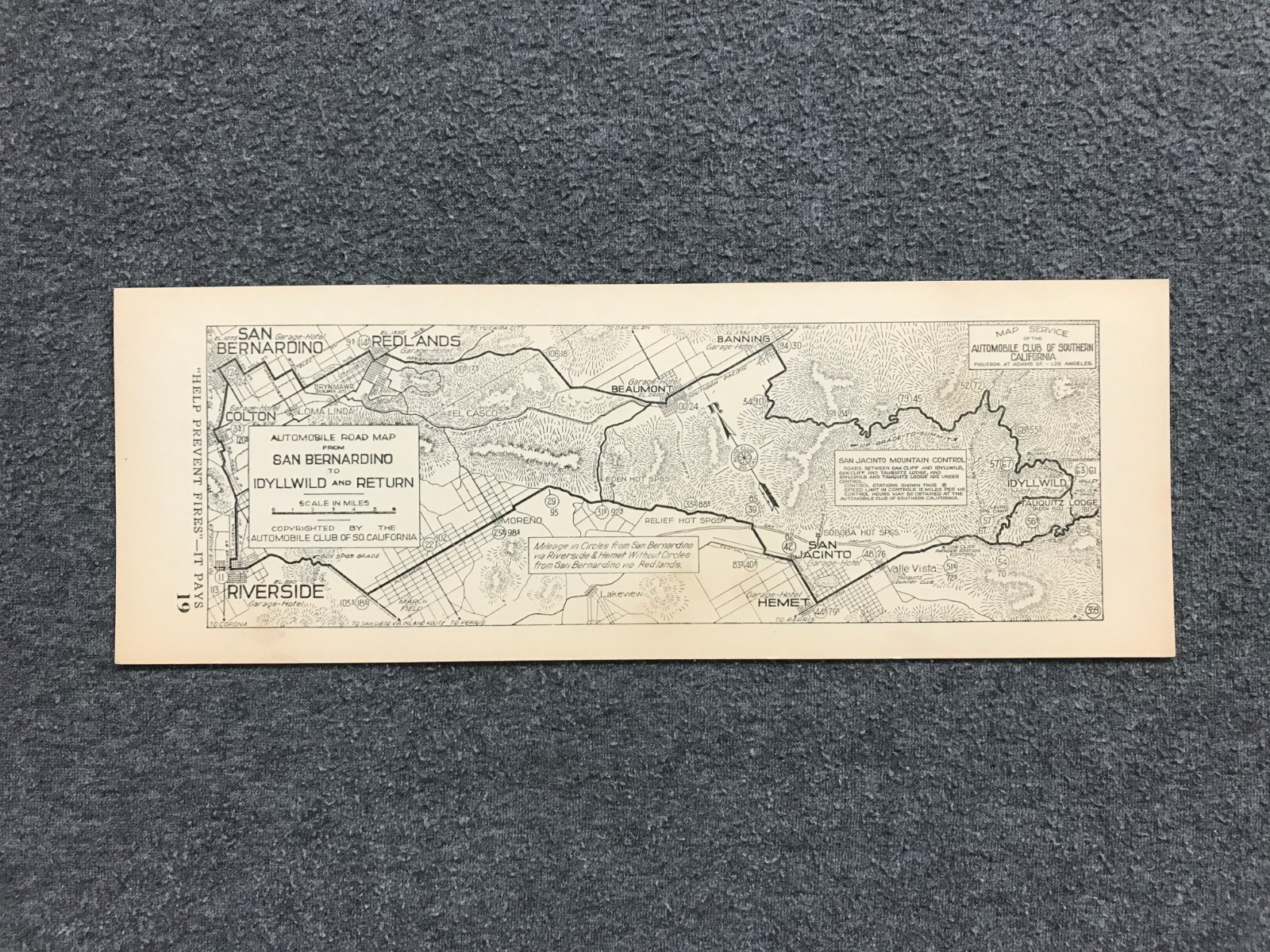
Original early Automobile Club of Southern California strip road map card for the route from San Bernardino to Idyllwild and return.
This detailed black-and-white route map highlights Southern California towns and roadways including San Bernardino, Colton, Redlands, Riverside, Beaumont, Banning, Hemet, San Jacinto, Valle Vista, and Idyllwild, with mountain roads, mileage markers, garages, hotels, and San Bernardino National Forest fire-prevention messaging: “Help Prevent Fires - It Pays.”
Great collectible for fans of early automobile touring, AAA / Auto Club memorabilia, vintage California road maps, Riverside County history, San Bernardino history, Idyllwild collectors, and Southern California travel ephemera.
Approximate size: 10.5\" x 3.75\"
Format: single-sided strip map / card
Publisher: Automobile Club of Southern California
Era: circa 1916-1917
Condition: vintage used paper item with age toning, small marks, light edge/corner wear, and normal handling wear. Blank back. Ships protected in a rigid mailer.
Add this early SoCal road map to your collection before it disappears.