

|
Site Categories |
|
Featured Items |

Poodle, Spaghetti Trim, Ucagco


|
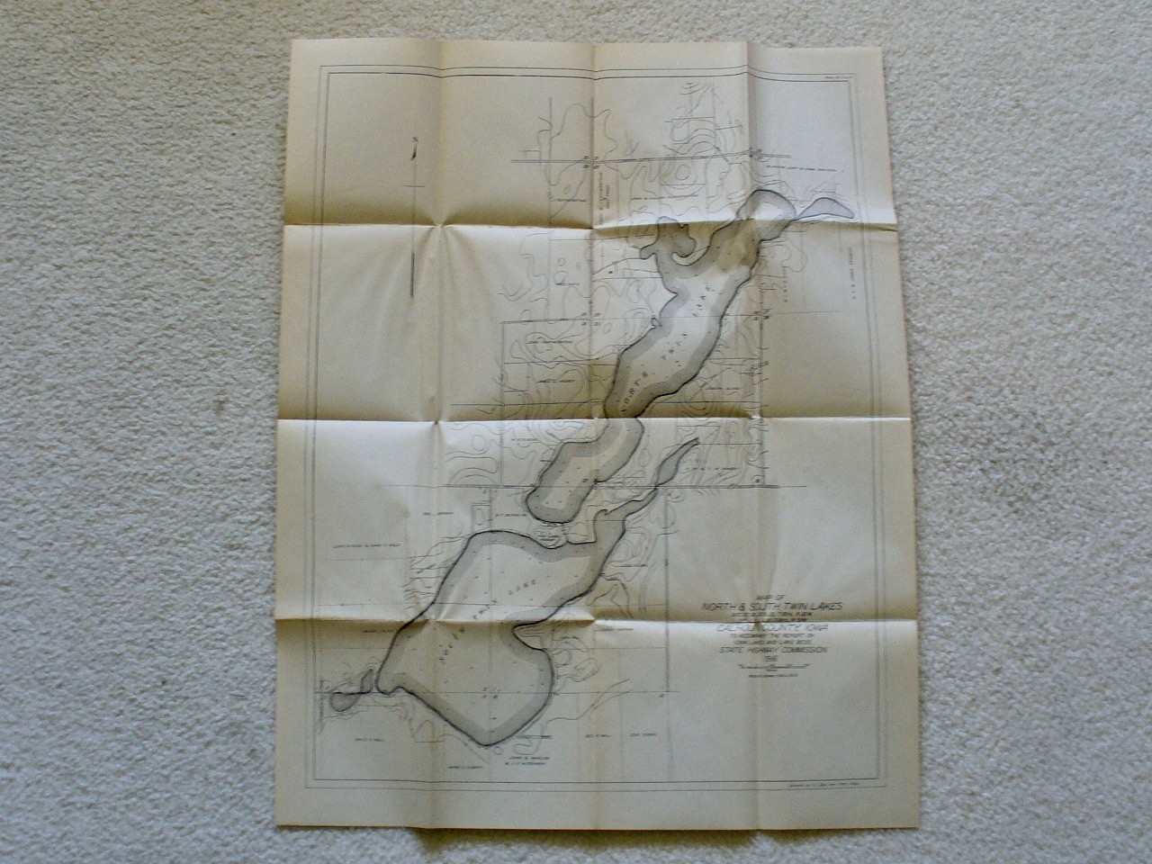
1916 Folded Map of North and South Twin Lakes, Calhoun County, Iowa, 24 x 19 For Sale

When you click on links to various merchants on this site and make a purchase, this can result in this site earning a commission. Affiliate programs and affiliations include, but are not limited to, the eBay Partner Network.

1916 Folded Map of North and South Twin Lakes, Calhoun County, Iowa, 24 x 19:
$9.99
For sale is a 1916 folded Map of North and South Twin Lakes in Calhoun County, Iowa. Roughly 24 x 19 inches in size. Maps No. 8 and 9, produced by the Iowa State Highway Commission. Used condition. Some creases and areas of \"waviness\' to the paper. Also some yellowing, light foxing and edge-wear. The map will ship folded (it folds a little unevenly).
|
|
Related Items:
1916 Folded Map of North and South Twin Lakes, Calhoun County, Iowa, 24 x 19 $9.99
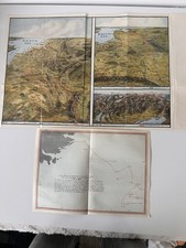
Original WWI 1916 Europe Battle Front Maps + 1914 Falkland Naval Map Fold Out $43.20
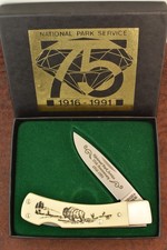
SCHRADE MADE IN USA SCRIMSHAW BUFFALO LOCKBACK KNIFE 1916-1991 515SC (34186) $92.00
|
|
|
Shopping Cart  |

|
Recently Viewed |
|
Latest Items |
|
Facebook |
Secure Websites

|
