When you click on links to various merchants on this site and make a purchase, this can result in this site earning a commission. Affiliate programs and affiliations include, but are not limited to, the eBay Partner Network.
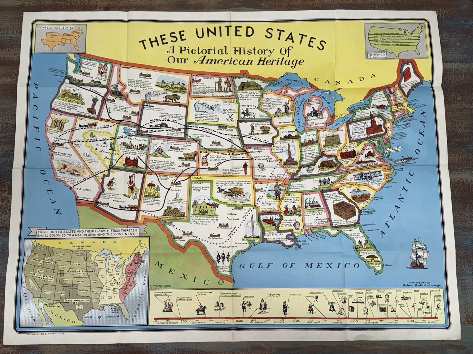
Vintage 1949 “These United States: A Pictorial History of Our American Heritage” educational pictorial map.
A colorful illustrated map of the United States published by Pictorial Map Co. and copyrighted 1949, featuring historical landmarks, transportation routes, westward expansion, notable events, monuments, forts, famous people, and a timeline illustrating American history from the voyages of Columbus through the Atomic Age.
Illustrated by Robert Hyde de Grange, this large-format educational wall map captures the style of post-war classroom maps and is an excellent piece of Americana.
Details
* Copyright: 1949
* Publisher: Pictorial Map Co.
* Artist: Robert Hyde de Grange
* Title: These United States: A Pictorial History of Our American Heritage
* Measures approximately 36” x 28”
* Original color lithograph on paper
Condition
Very good vintage condition with the original fold lines from storage. Bright colors with light age-related wear consistent with age. No major tears, tape repairs, or missing sections observed. Please review all photographs carefully as they are part of the description.
A wonderful display piece for collectors of Americana, educational maps, history, schools, classrooms, cartography, travel memorabilia, or mid-century graphic design.