When you click on links to various merchants on this site and make a purchase, this can result in this site earning a commission. Affiliate programs and affiliations include, but are not limited to, the eBay Partner Network.
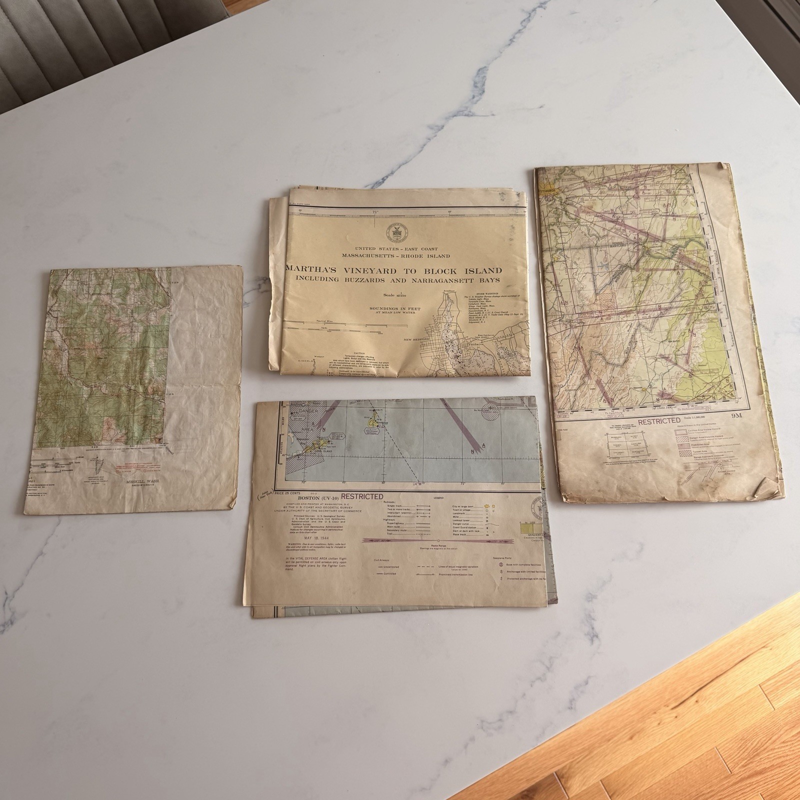
Lot 5 WWII Military Aeronautical Nautical Maps Restricted 1940s Army Air Corps
Description
* Lot of 5 vintage military, aeronautical and nautical maps/charts
* Includes WWII-era restricted aeronautical charts and U.S. Army training/topographic maps
* Boston V-10 Restricted sectional aeronautical chart dated May 18, 1944
* Regional Aeronautical Chart 9M marked Restricted
* Camp Crowder & Vicinity, Missouri training map with period handwritten “Army Net III Corps” notation
* Mesikill, Washington U.S. Army tactical/topographic map
* Martha’s Vineyard to Block Island educational nautical chart
* Original fold lines, toning, edge wear, creases and age-related handling throughout
* Some maps have period handwritten markings
* Sold together exactly as shown