

|
Site Categories |
|
Featured Items |

Poodle, Spaghetti Trim, Ucagco


|
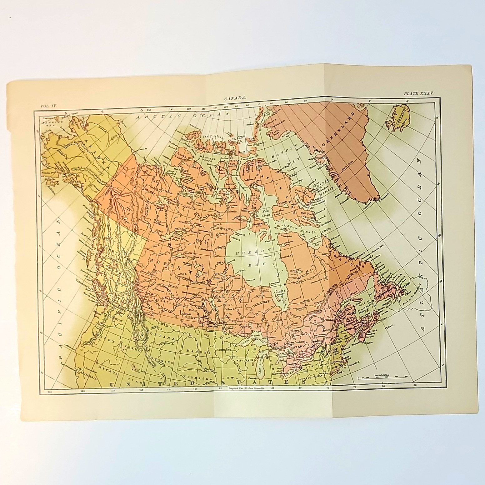
ORIGINAL 1875 ANTIQUE MAP DOMINION OF CANADA Encyclopaedia Britannica Ninth Edit For Sale

When you click on links to various merchants on this site and make a purchase, this can result in this site earning a commission. Affiliate programs and affiliations include, but are not limited to, the eBay Partner Network.

ORIGINAL 1875 ANTIQUE MAP DOMINION OF CANADA Encyclopaedia Britannica Ninth Edit:
$249.99
Offered is an original 1875 antique map of the Dominion of Canada, published as Plate XXXV in Volume IV of the Ninth Edition of Encyclopedia Britannica.This is an authentic 19th-century printed map, not a modern reproduction. The map features period hand-applied coloring and provides a fascinating snapshot of the geography and political boundaries of Canada just eight years after Canadian Confederation in 1867.The map shows the provinces and territories of the period, including Ontario, Quebec, New Brunswick, Nova Scotia, Prince Edward Island, and the vast western and northern territories that looked very different from the Canada we know today. Historical geographical names, rivers, lakes, boundaries, and coastal details are beautifully engraved throughout.MAP DETAILSDate: 1875Publication: Encyclopedia Britannica, Ninth EditionVolume: IVPlate: XXXVSubject: Dominion of Canada / North AmericaPeriod: Victorian-era cartographyColor: Original period hand coloringFormat: Folding map plateReverse: Blank, consistent with the original map plate formatCONDITIONOverall Good antique condition considering its age.The map retains its original paper, printing, coloring, and historic folds. There is visible fold wear, some edge wear/tearing, discoloration, and signs of age. Please examine all photographs carefully for the exact condition.The map has NOT been professionally restored, flattened, trimmed, or altered.This would make an excellent addition to a collection of 19th-century maps, Canadian history, cartography, Encyclopedia Britannica memorabilia, genealogy/history materials, or antique paper ephemera.A wonderful piece of original Victorian cartography documenting Canada in 1875, shortly after Confederation.Please note: This is an antique original and is being sold in its existing historic condition. The photographs show the actual map you will receive.Ships carefully protected to prevent additional damage during transit.
|
|
Related Items: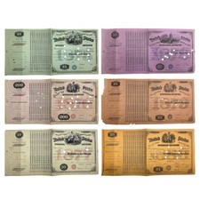
Original 1875-1880 US Internal Revenue Liquor Dealer Tax Stamp Document Lot of 6 $99.99
Original 1875 U.S. Navy Department Document Signed By Secretary Of The Navy $200.00
Original 1875 EN Welch Gale Drop 5 Dial 6 Hand Complication Calendar Wall Clock $4250.00
|
|
|
Shopping Cart  |

|
Recently Viewed |
|
Latest Items |
|
Facebook |
Secure Websites

|
