When you click on links to various merchants on this site and make a purchase, this can result in this site earning a commission. Affiliate programs and affiliations include, but are not limited to, the eBay Partner Network.
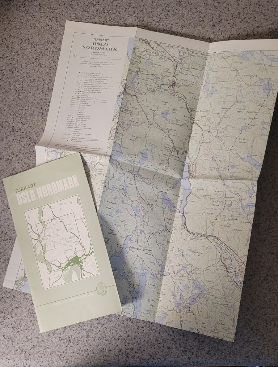
Official Norwegian tourist map Turkart Oslo Nordmark, published by Norges geografiske oppmåling (NGO), Oslo, 1972. This copy has hiking and ski trails updated to January 1980 in cooperation with Foreningen til Ski-Idrettens Fremme (Skiforeningen).
Scale 1:50 000. Contours 20 m. Compiled from NGO 1:50000 sheets 1814 I, 1814 IV, 1815 I–III, 1914 IV, 1915 III–IV. Covers Nordmarka / northern Oslomarka from Oslo north toward Roa, west to Hønefoss/Jevnaker, east toward Nittedal and Nannestad.
Shows topography, cabins, marked summer paths, winter tracks, and red ski trails / lit trails (skiløype / lysløype). Folded in original light-green NGO cover with index map and outdoor-ethics text on the reverse (“God tur med naturvett”).
Vintage paper map. Cover has expected fold wear, light corner rub, and a small stain on the back panel. Map sheet complete.