When you click on links to various merchants on this site and make a purchase, this can result in this site earning a commission. Affiliate programs and affiliations include, but are not limited to, the eBay Partner Network.
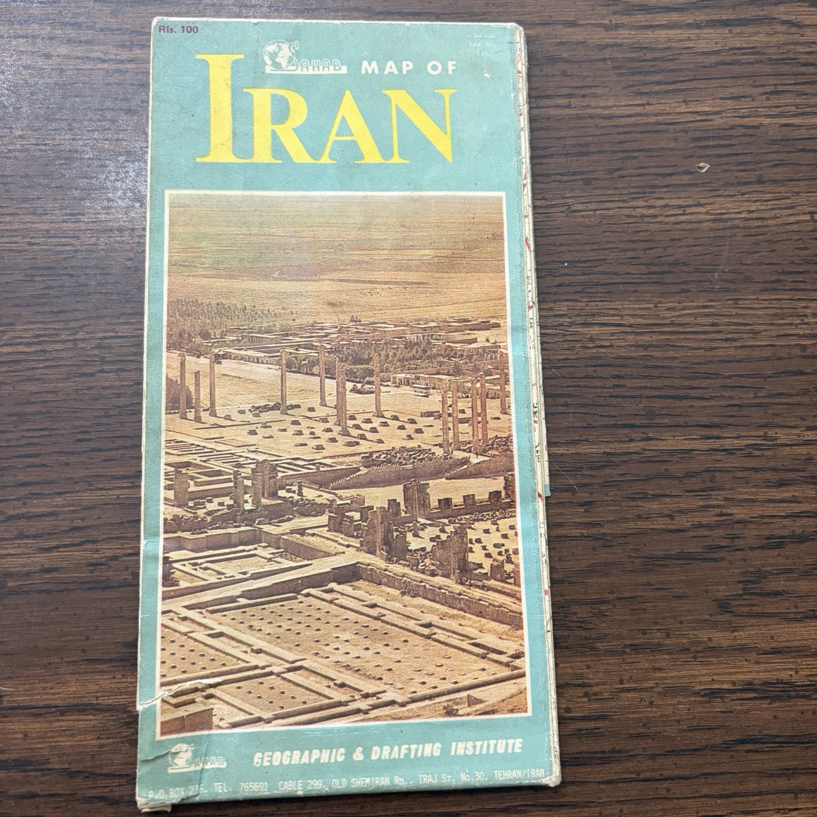
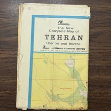
Original vintage Sahab Map of Iran folding road and tourist map published by the Geographic & Drafting Institute (Sahab) in Tehran, Iran.
This large folding map was produced during the Pahlavi era before the 1979 Iranian Revolution and features the country of Iran with roads, cities, and geographic information. The cover features an image of the ancient ruins of Persepolis, making it an attractive collectible for map enthusiasts, travelers, and collectors of Middle Eastern history.
A great addition to collections of vintage maps, travel ephemera, Persian history, or pre-revolution Iranian memorabilia.
Details
* Title: Map of Iran
* Publisher: Sahab Geographic & Drafting Institute
* Printed in Tehran, Iran
* Folding paper map
* English cover (reverse in Persian)
* Approximate folded size: 5 x 9 inches
* Country: Iran
* Continent: Asia
* Pre-1979 Pahlavi-era publication
Condition
Fair vintage condition with noticeable age-related wear. Covers show edge wear, creasing, small tears, and corner damage. Please review all photos carefully for overall condition. The map appears complete but has not been fully inspected for tears or writing.
Keywords
Iran map, Sahab map, Geographic Drafting Institute, Tehran Iran, Persian map, vintage road map, folding map, travel ephemera, Pahlavi era, pre revolution Iran, Middle East map, Persepolis, cartography